Are there parking restrictions on roads near The Summit? Which streets? What restrictions are there going to be? Why are they making restrictions?

The Division of Traffic Engineering is making street-parking restrictions for Southpoint Drive near The Summit at Fritz Farm. Families and friends use to be able to park on the street, but complaints have been sent to the division to change that.
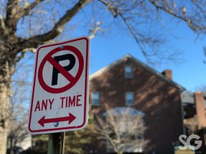
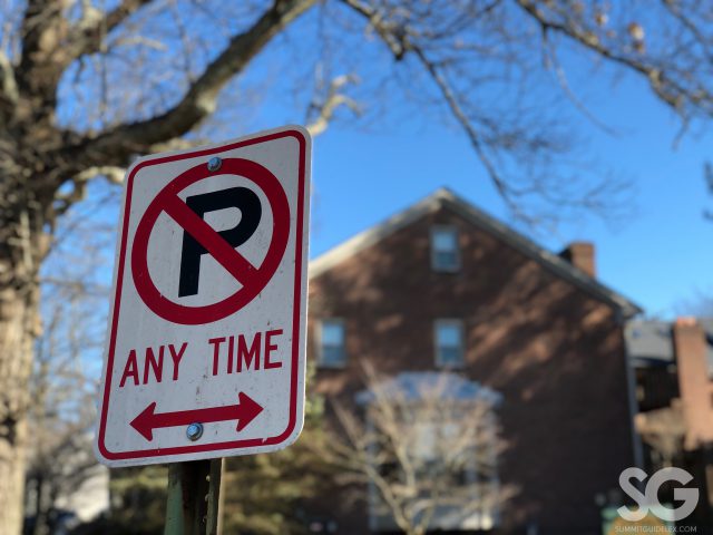
The change will affect the part of Southpoint between Mandeville Way and the beginning of the split just east of Biltmore Place. The division will be putting up “No Parking” signs along the street in hopes that it will alleviate the potential safety hazard.
Concerns have been brought up due to the width of Southpoint Drive and the bicycle lanes. When vehicles are parked along this particular section of the street, motorists would have to navigate around parked vehicles or bicyclists to avoid collision. This “swerve” around these items cause motorists to potentially cross over the double yellow line into the other side of the lane causing a potential collision with a vehicle coming in the other direction. Their hope is that with eliminating street parking it will help avoid such potential serious collisions.
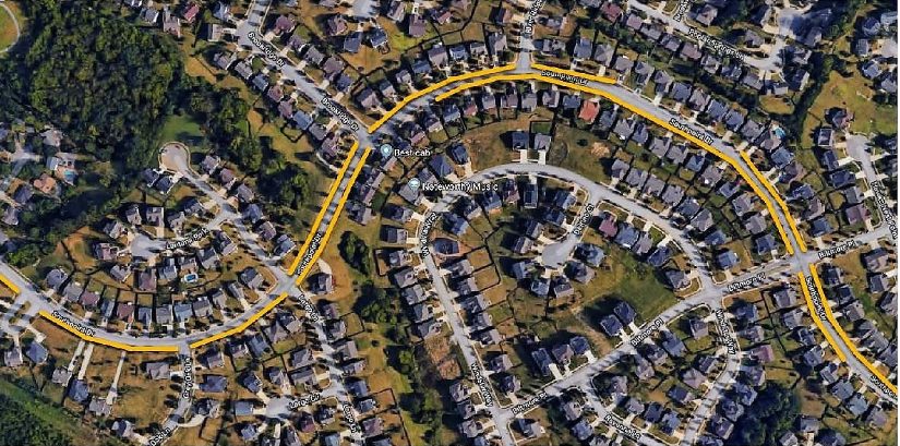
Below is an illustration of where the no parking signs will be installed on or about February 19. The yellow lines highlight the areas where “No Parking” signs will be posted. Parking will be restricted in some areas to one side of the street while other areas will have parking restricted on both sides of the street.

—
Call today to advertise in Summit Guide, 859.268.0945


